
I was introduced to a hand-held GPS unit almost 25 years ago and although hand-held units never met the standard for Land Surveying, I immediately recognized the benefits to hiking and recreating.
Initially we had dedicated units by Magellan and Garmin, and by the mid 2000s we could upload maps into the unit and really use it for land navigation. Batteries have always been a major consideration, especially in the cold.
Today I use one of three Apps on my iPhone. Initially I used a program named Gaia GPS, later Garmin Explore, and currently Topo Maps + Hunt. I purchase an annual subscription to the later which gives me printing, sharing, and municipal tax lots.
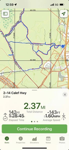
Some commonalities of the devices and Apps is that it uses radio signals from the satellite constellation to show your location on the earth. This is usually shown as a dot and a round shadow where the shadow demonstrates the accuracy. There has always been a primitive map in the background and the available maps have only gotten better over the years. The location is associated with a number of coordinate systems. Most units and apps have the ability to save a location as a Waypoint. Normally you can record Tracks when you walk or hike it and plan Routes.
The two screen shots below show Topo Maps + and Gaia GPS where you can see the background maps, Tracks that have been walked and Waypoints. Gaia shows your location and direction with the arrow and Topo Maps + locates with the blue dot.
When you first launch the App, the base map may still show the last place where you were using it. On Gaia you hit the round bullseye and TM+ hit the small arrow in the upper right corner. It will then change the location to where you are. Normally you have to tell the App when you are starting and the recording begins.
Gaia GPS is free and can be upgraded. I pay $75 a year for the + Hunt options. Both come highly recommended.
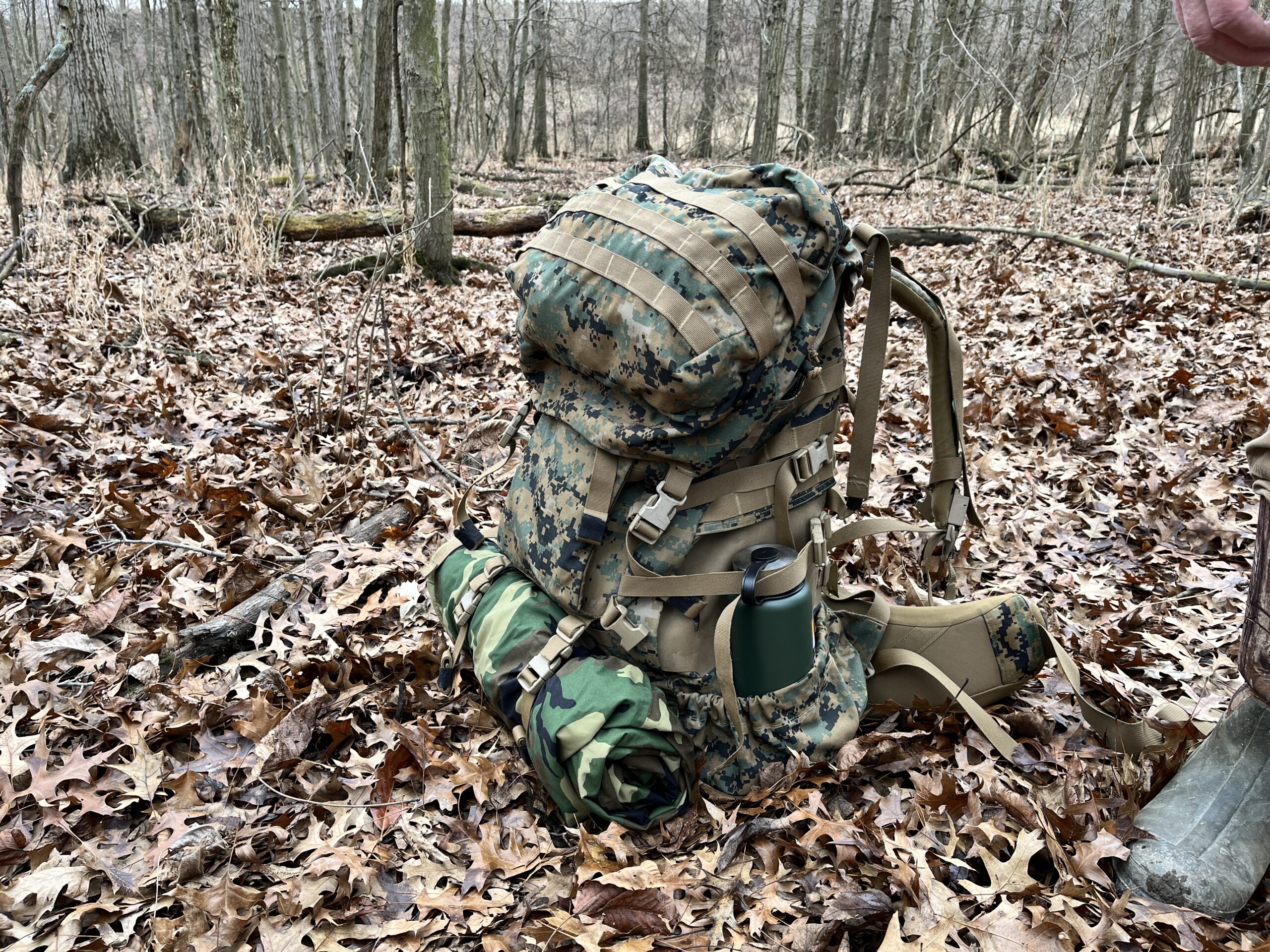
Caution: When navigating with an electronic device / phone you have to pay attention to battery life. Especially in the cold. I carry a battery backup puck that will recharge my phone several times. During my summer training this year, I only had to recharge the phone once in four days. Snowshoeing that is not the case. You also have to know whether the App needs contact with a cell tower to work. I have not yet out run the towers but if you do the App may let you down. Test it.
Enjoy the use of GPS for your adventures but keep your map & compass skills fresh.
Author: Ken Berry

Leave a Reply